Keokuk

Iowa

ZIP CODES
15
CITIES
16
AREA CODES
2
POST OFFICES
4
LATITUDE RANGE
+41.4810173
LONGITUDE RANGE
-92.38823383
CURRENT TIME
6:22 AM
Keokuk, IA
Leaflet | © OpenStreetMap contributors

Overview

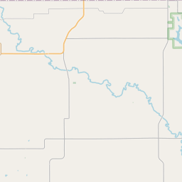
County Keokuk is located in the state of Iowa. Keokuk is spread between the coordinates of +41.4810173 Latitude and -92.38823383 Longitude. Keokuk has 15 zip codes, 16 cities, 2 area codes and 4 post offices.

Below you will find more info about Keokuk and also zip codes, cities, area codes and the post offices that belong to this county.

  • Gender
  • Household
  • Geographic Data
  • Weather

Gender

In all the statistical population, the male population is 5,216 and the female population is 5,434.

Male Population 5,21648.98%
Female Population 5,43451.02%

Household

Keokuk has 4,348 households, with an average number of 2.42 persons per household. The average income per household in Keokuk is $42,735 and the average house value is $78,800.

Household per ZIP Code 4,348
Avarage House Value $78,800
Persons Per Household 2.42
Income Per Household $42,735

Geographic Data

The latitude of the Keokuk is +41.4810173, the longitude is -92.38823383, and the elevation is 808 ft. The time zone for Keokuk is CDT.

Latitude +41.4810173
Elevation 808 ft
Longitude -92.38823383
Timezone CDT

Weather

Wind

Wind Direction

7 Day Forecast

Browse